
Geospatial intelligence is transforming how complex data is used to support real-world decisions. Across sectors such as mining, energy, and environmental management, organizations are increasingly relying on integrated data approaches to reduce uncertainty and improve outcomes.
The Value of Integrated Data
Traditionally, datasets such as geological maps, geophysical surveys, and environmental indicators were analyzed separately. While each provided value, the lack of integration often limited deeper insight.
Today, advances in spatial analysis allow these datasets to be combined into a single analytical framework, revealing relationships that are not visible when data is considered in isolation. Geological structures, lithological variations, and geophysical signals can now be interpreted together, providing a more complete understanding of underlying systems.
From Data to Actionable Insight
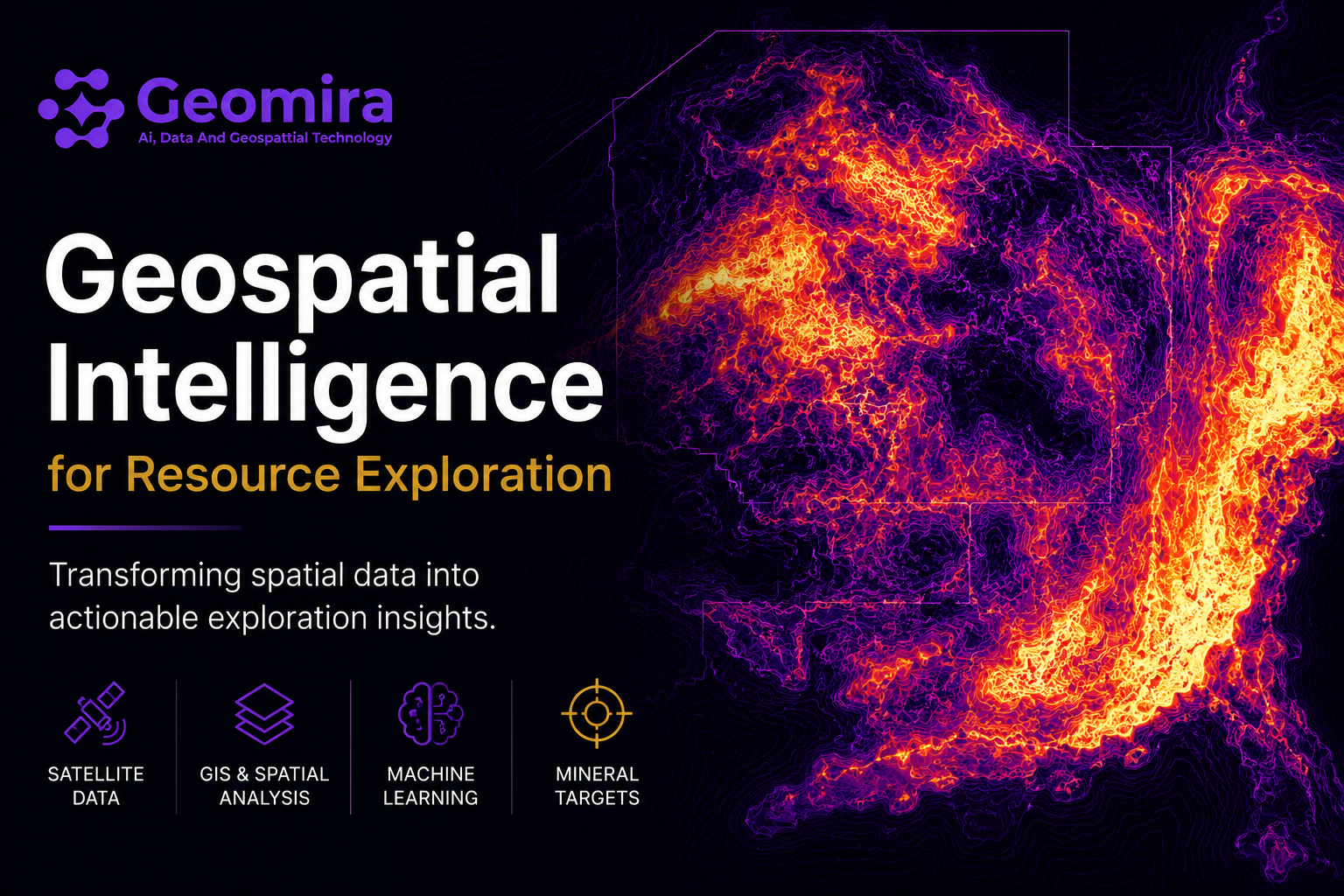
Modern analytical tools process large volumes of data into structured outputs such as maps, indicators, and ranked targets. These outputs enable decision-makers to move beyond raw data and focus on meaningful insights that support planning and execution.
Key capabilities include:
• Integration of geological and geophysical datasets
• Identification of structural and lithological patterns
• Spatial modelling of prospectivity
• Visualization of priority target zones
“Effective decisions are no longer driven by data availability alone, but by the ability to integrate and interpret that data effectively.”
Supporting Better Decisions
Geospatial intelligence supports planning, investment, and operational decisions by improving the understanding of risks and opportunities. It allows stakeholders to evaluate different scenarios, prioritize actions, and allocate resources more effectively.
Applications span multiple sectors, including:
• Environmental and social risk assessment
• Mining and exploration targeting
• Oil & gas project evaluation
• Infrastructure planning and optimization
Towards Integrated Intelligence Platforms
The next evolution lies in integrated platforms that combine data processing, spatial analysis, and decision-support tools within a single environment. These systems allow users to move from raw data to actionable insight without requiring advanced technical expertise.
Such platforms improve accessibility, enhance collaboration, and enable faster, more transparent decision-making across organizations.
As data continues to grow in volume and complexity, the ability to integrate, analyze, and apply it effectively will define the future of exploration and planning. Geospatial intelligence is no longer optional—it is becoming a foundational capability for modern, data-driven decision-making.
Let's discuss how we can support your decisions with evidence-based, decision-ready intelligence.
Contact UsRequest a Pilot Project


© 2026 Geomira LLC. All rights reserved.


Connect with a Webflow Expert to create a website using this template.Learn More