
Explore the analytical building blocks behind Geomira's data and geospatial intelligence work — from spatial analysis to scalable, decision-ready outputs.
.png)
Analyze geological, environmental, and spatial data to identify patterns, structures, and high-potential zones for decision-making.
Explore SolutionApply data science and AI methods to extract insights from structured and unstructured data, including reports and operational datasets.
Explore Solution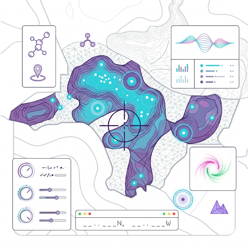
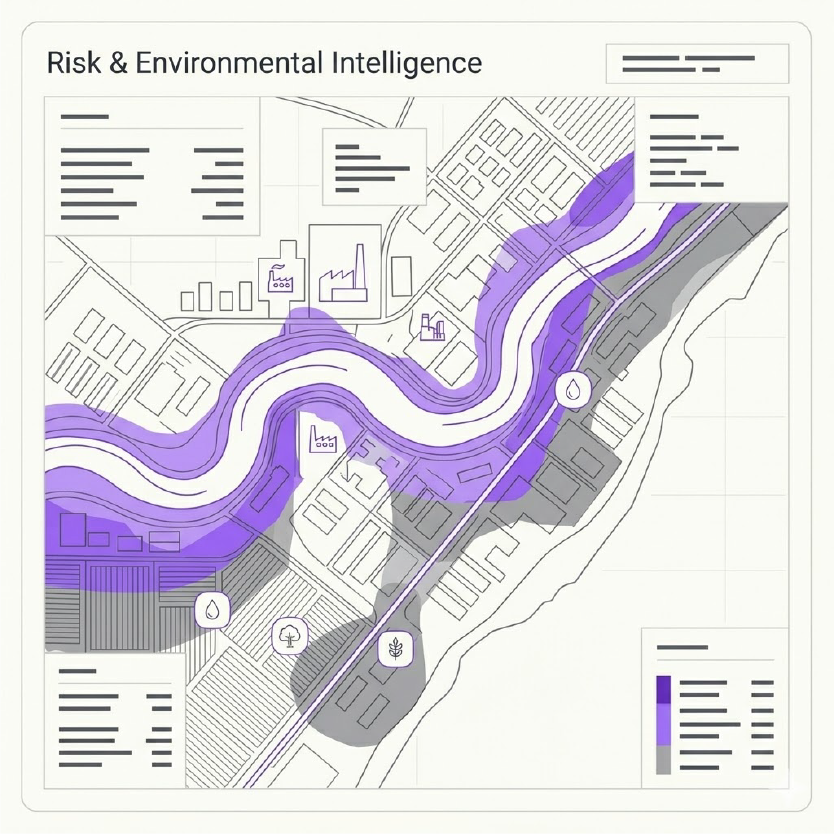
Assess environmental, agricultural, and industrial risks using integrated data and geospatial analysis to support planning, investment decisions, and sustainable resource management.
Explore Solution
Combine geological, geophysical, environmental, and qualitative datasets into a unified analytical framework.
.png)
Develop tools and applications that allow users to run analysis independently without requiring deep technical expertise.

Deliver clear outputs such as maps, indicators, and insights that directly support planning, evaluation, and decision-making.
Discover how geospatial and data intelligence can support your projects, analysis, and decision-making.



© 2026 Geomira LLC. All rights reserved.


