Data & System Integration
We integrate diverse datasets, systems, and analytical tools to create unified, decision-ready intelligence platforms.
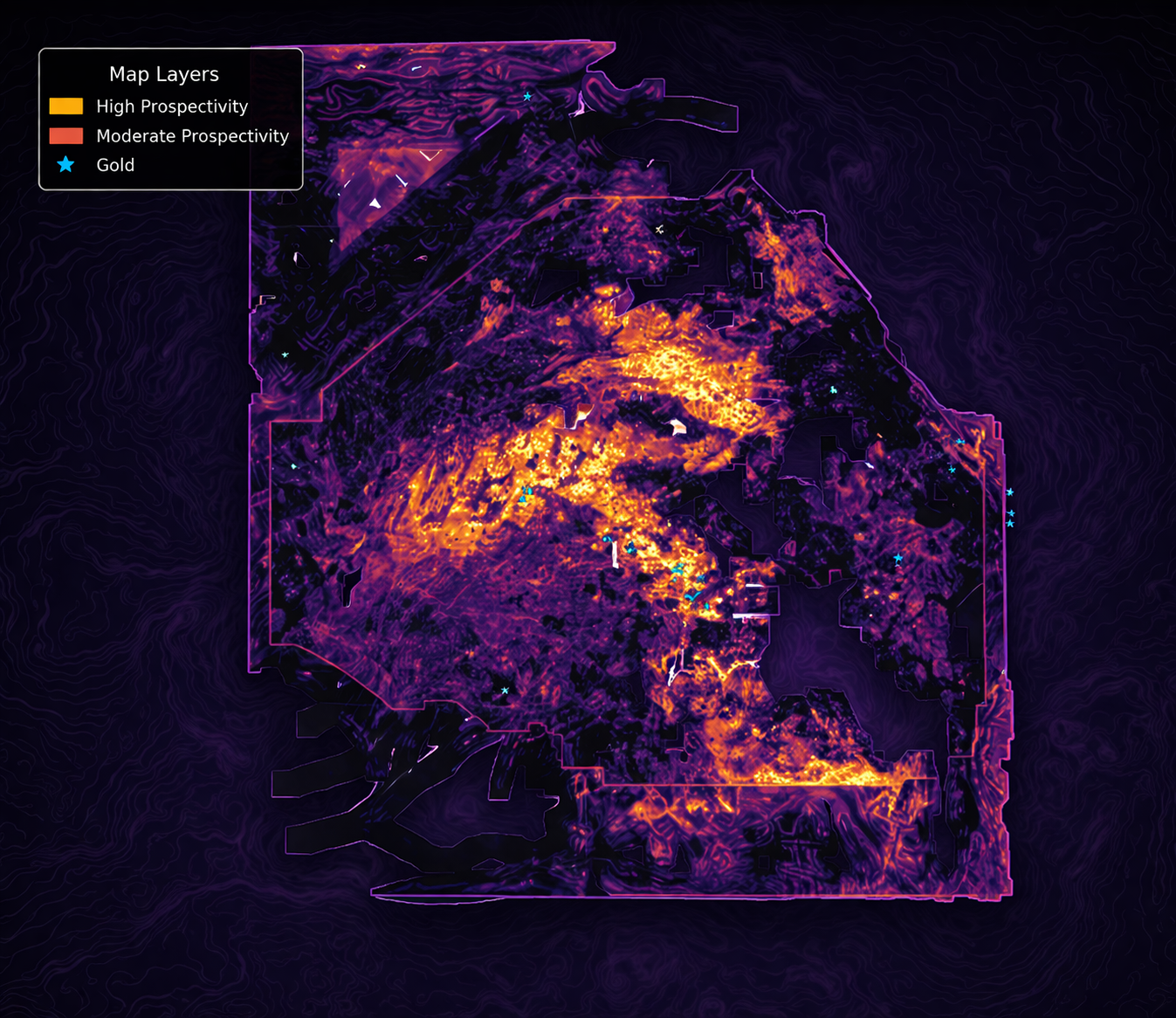
Combine geological, geophysical, and environmental datasets into a unified spatial analysis framework.
Explore CapabilityIntegrate structured and unstructured data including reports, surveys, and operational datasets.
Explore CapabilityProcess and analyze spatial data from GIS systems, satellite imagery, and terrain models.
Explore CapabilityDevelop reproducible workflows combining data processing, modelling, and visualization.
Explore CapabilityIntegrate tools such as DataLab and prospectivity models into scalable applications.
Explore CapabilityContent marketing company that connects freelancers who need content for their websites.
Explore CapabilityWe help organizations connect data, tools, and analysis into unified systems for better decision-making.


© 2026 Geomira LLC. All rights reserved.


Connect with a Webflow Expert to create a website using this template.Learn More